Privacy & cookies
Visitor guidance
Wirtschaftsförderung Sindelfingen GmbH
Inventory and documentation of current signposting in the city of Sindelfingen
June to August 2023

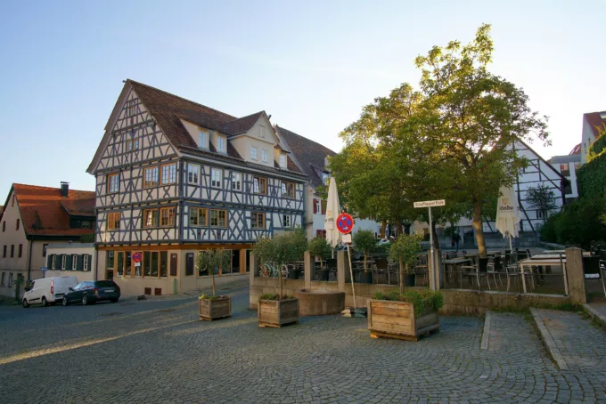
The town of Sindelfingen is located around 15 kilometres southwest of Stuttgart and is part of the Stuttgart region, an important economic centre in Germany. Sindelfingen's history dates back to the Middle Ages. The town was first mentioned in a document in 1155 and has a long tradition as a trading and craft town. Today, Sindelfingen is of great economic importance, particularly in the automotive industry. It is known as the location of the Mercedes-Benz Sindelfingen plant, one of the largest Mercedes-Benz plants in the world. Luxury cars of the brand are produced here and the industry has strongly characterised the city. Sindelfingen's main tourist attraction is its historic old town centre with the imposing St Martin's Church from the 15th century. Numerous cultural events, festivals and markets are also held throughout the year, attracting visitors from all over the surrounding area.
Wirtschaſtsförderung Sindelfingen GmbH is planning to develop a new concept for signposting in the city centre (visitor guidance system). The aim is to create a standardised, modern and clear signage system that will enable visitors in particular to find their way around the town more easily and point them specifically to the tourist attractions in the town centre.
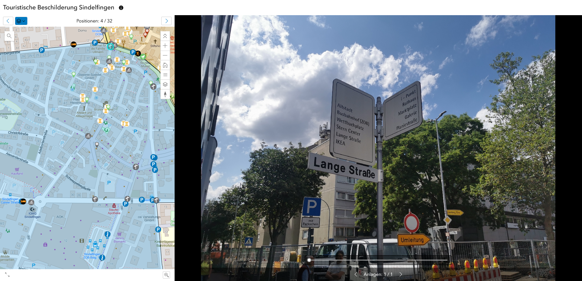
In preparation for a new concept, TourComm was commissioned to survey the "status quo of the current signage situation". The aim of the survey was to obtain a comprehensive overview of the current status quo of the overall signage in the city centre within a defined planning area. The data collected was then made available as part of an online cadastre and serves as the basis for the decision to implement further measures.

The signage was recorded during a site inspection lasting several days using cloud-based GIS software (geographic information system) to create interactive web maps. The individual signage locations were mapped there using GPS and supplemented with up-to-date photo documentation and other meta-information. All data can be accessed via an online application and can therefore also be used for further planning across authorities.